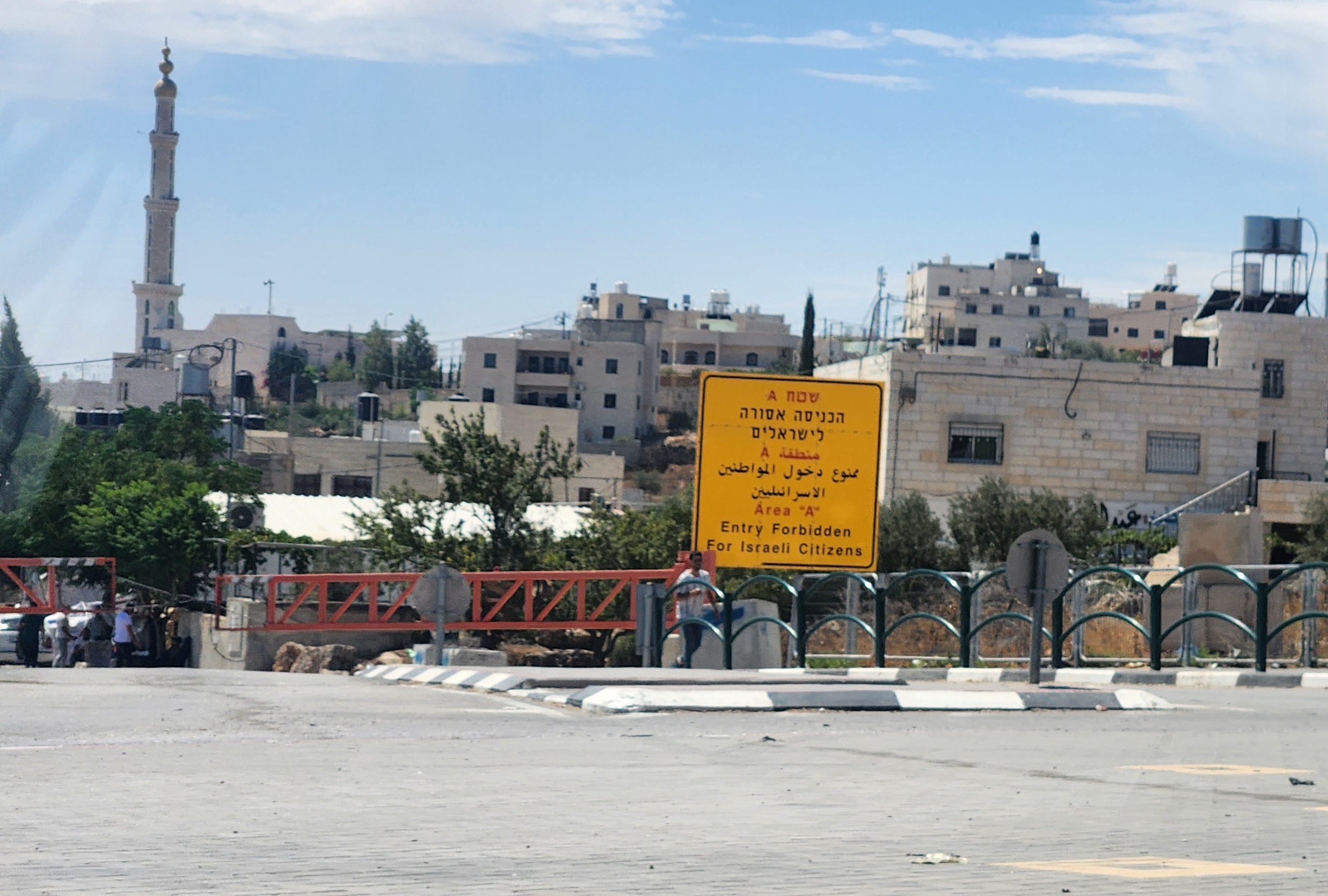
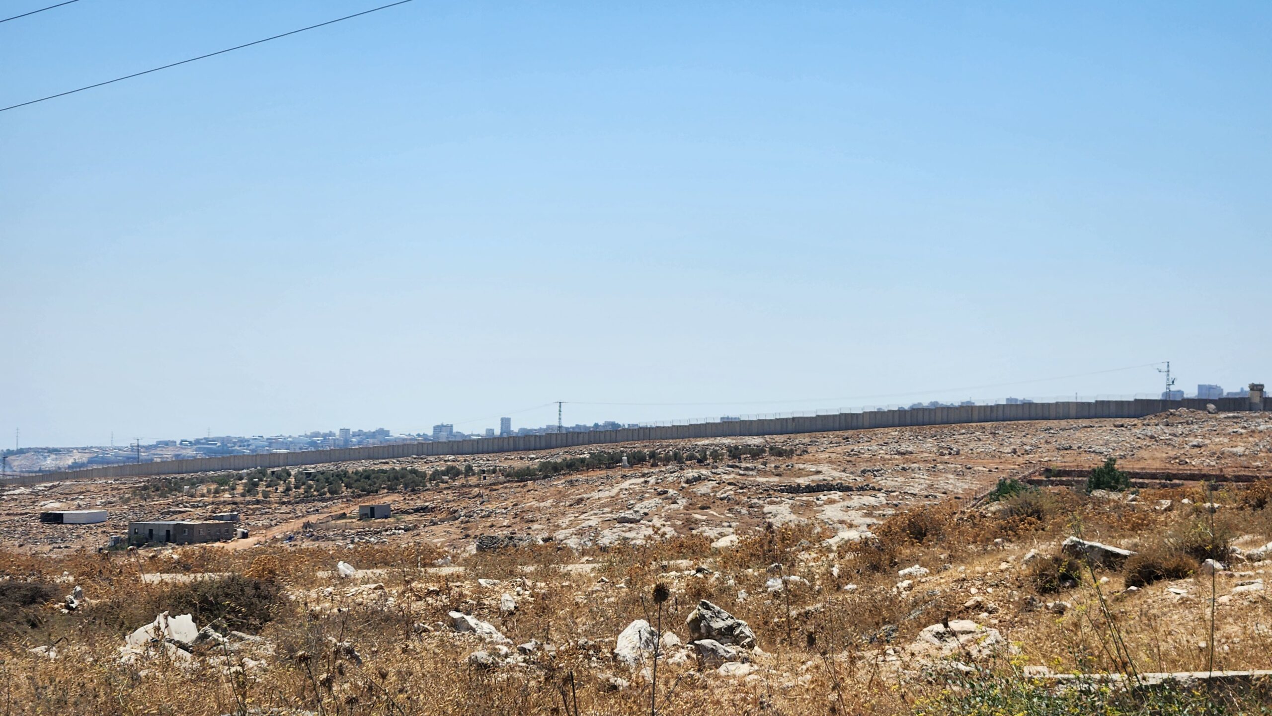
Areas A and C: The West Bank is divided into Area A (Palestinian control), B (Partial Palestinian control) and C (Israeli control). The foregrounded hill is in Area C where Palestinians are virtually never granted building permits. The hill on the horizon (to the right) in Area A is covered in buildings.
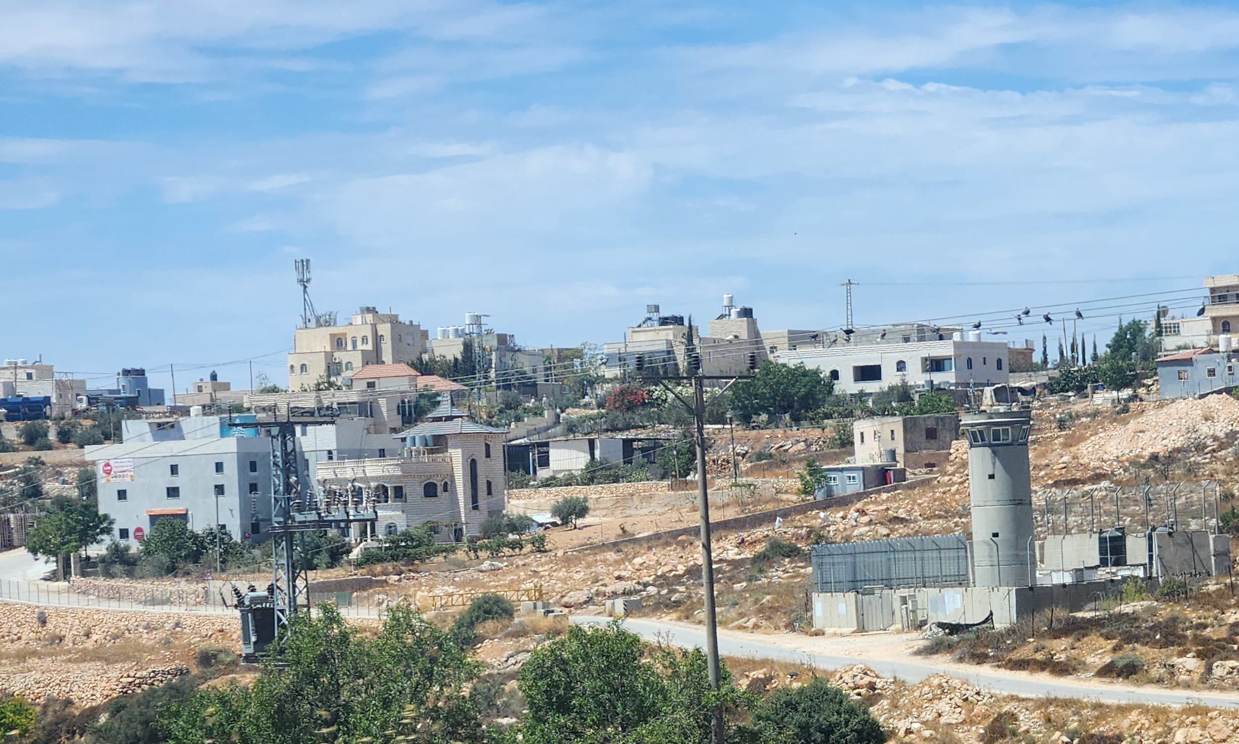
An Israeli military station next to a gate outside a Palestinian town entrance
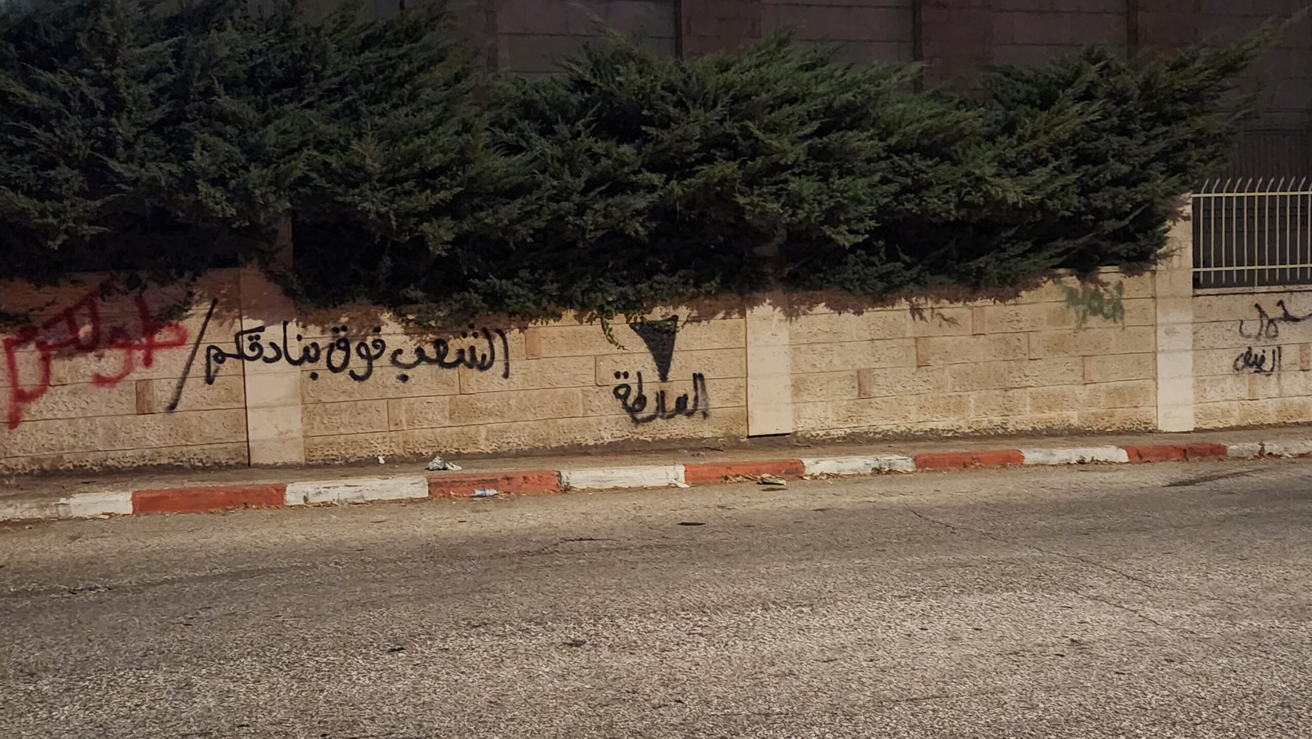
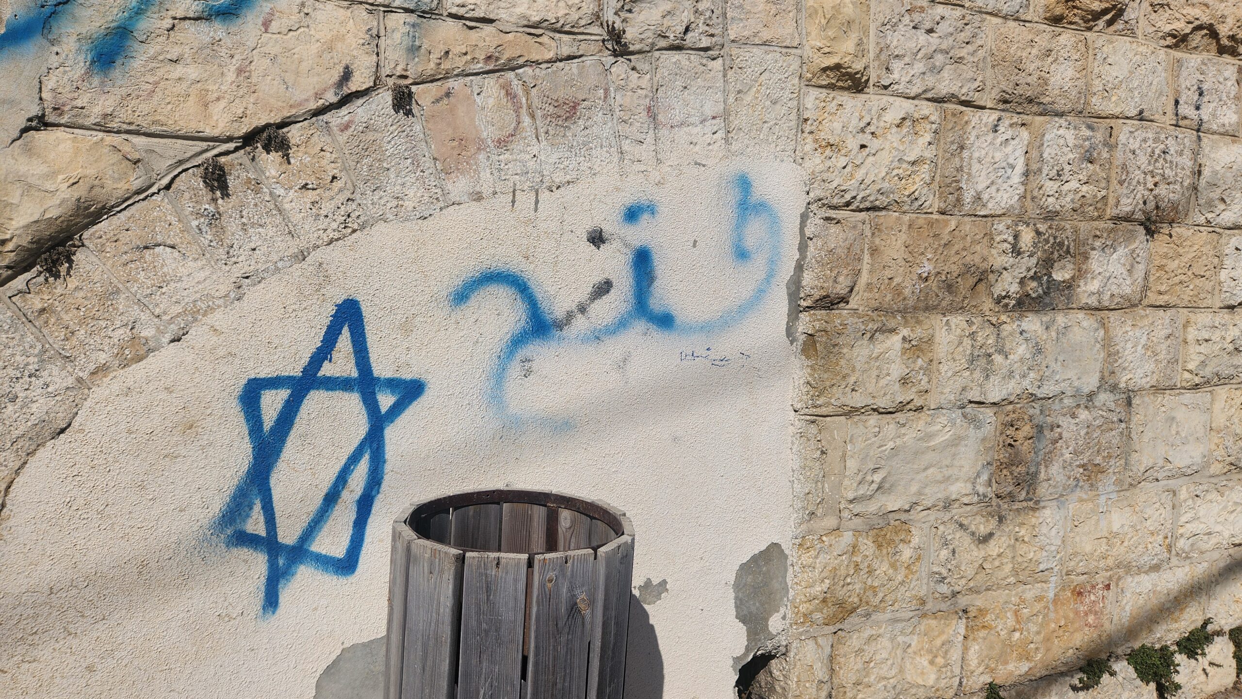
The word ‘Fatah’ (the ruling party in the West Bank) next to a star of David; the party is wildly unpopular in the West Bank.
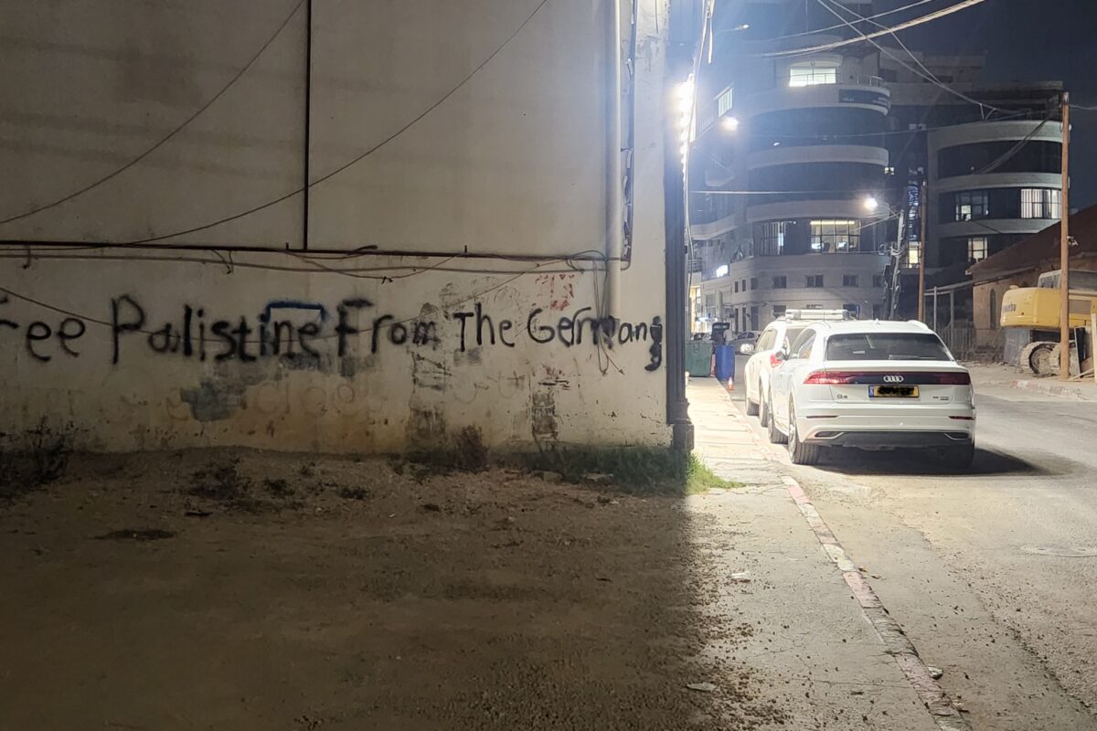
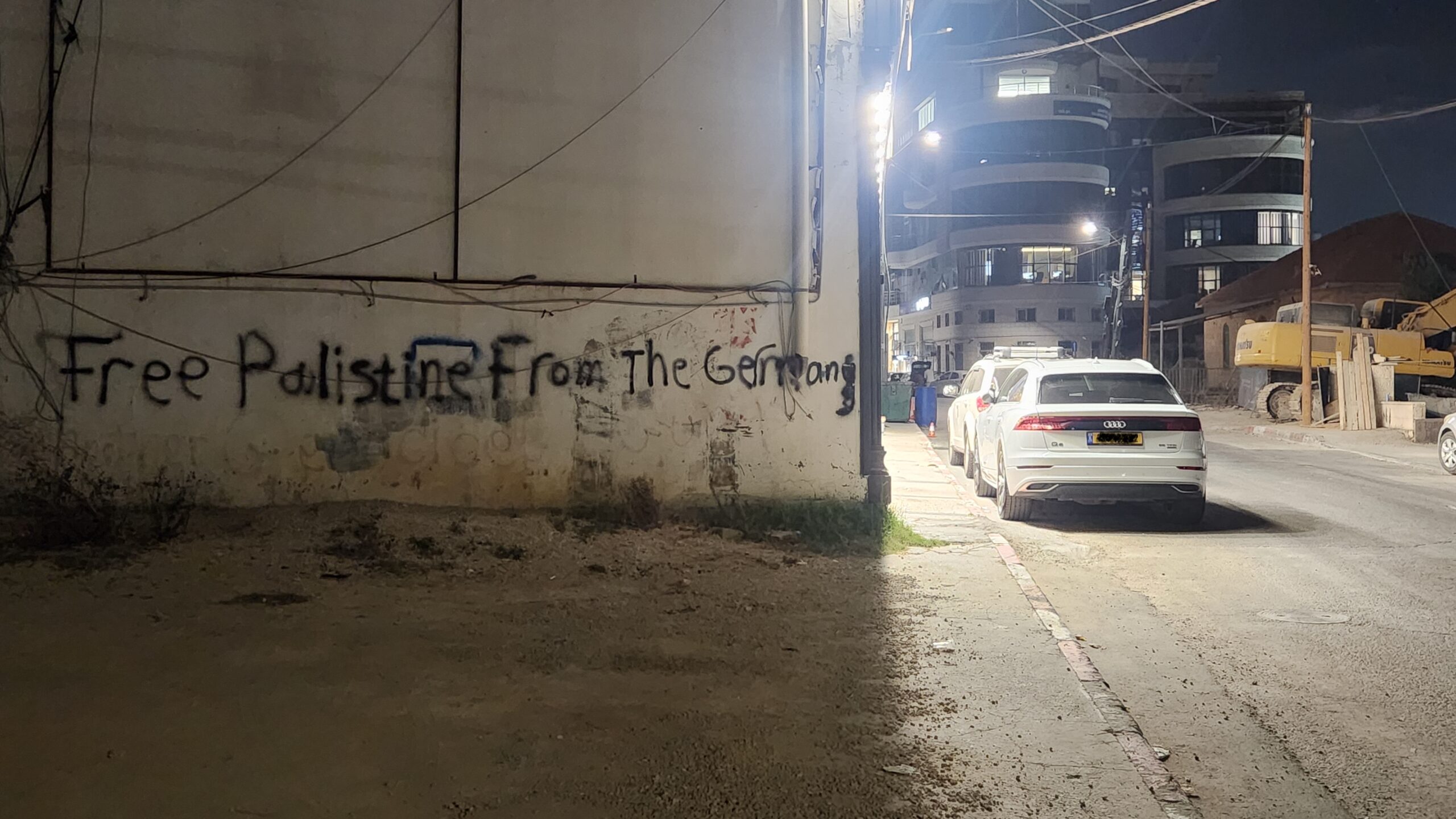
Graffiti outside the German consulate in Ramallah
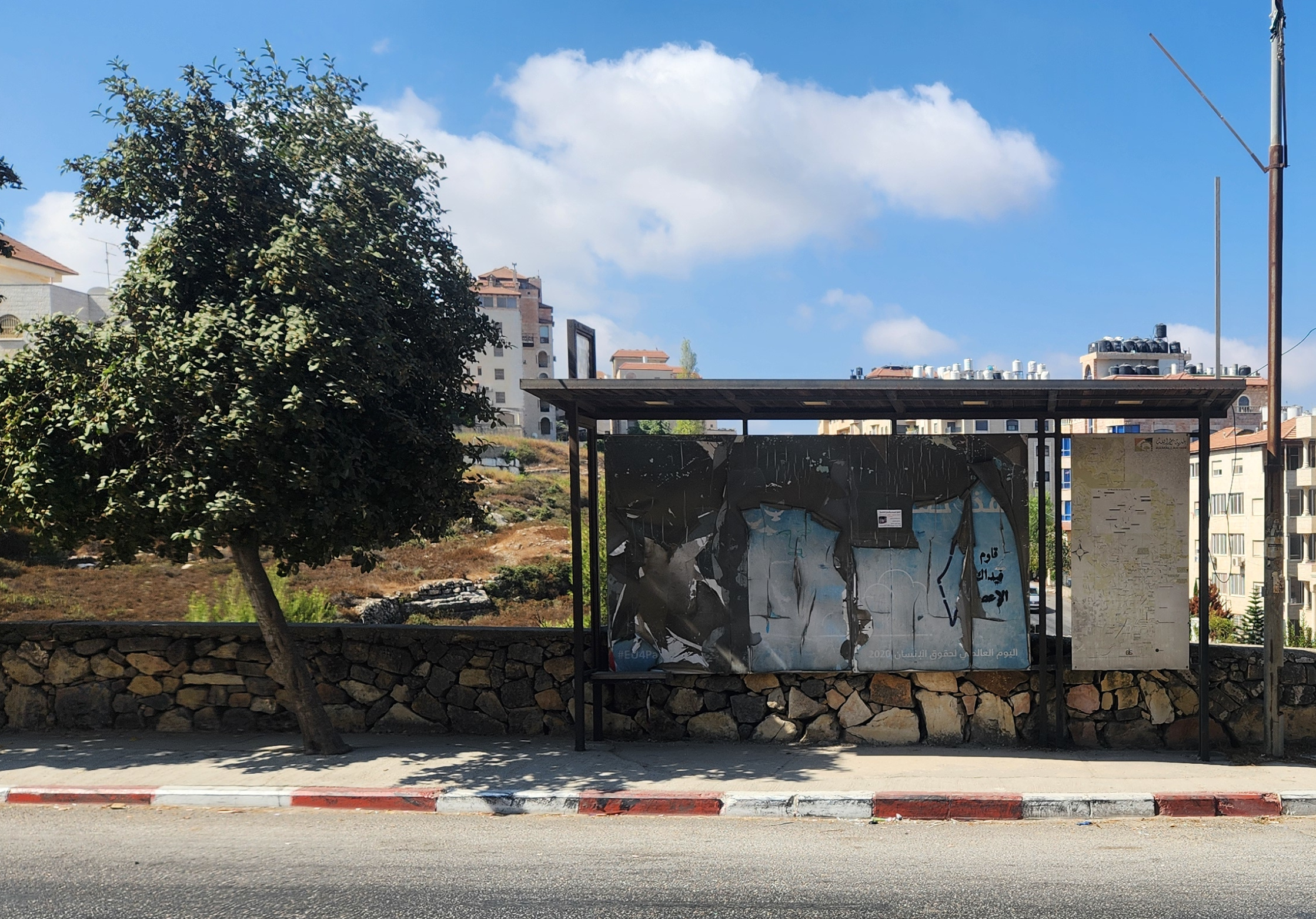
A torn poster advertising the 2020 Human Rights Day with ‘Resist’ spray painted on top.
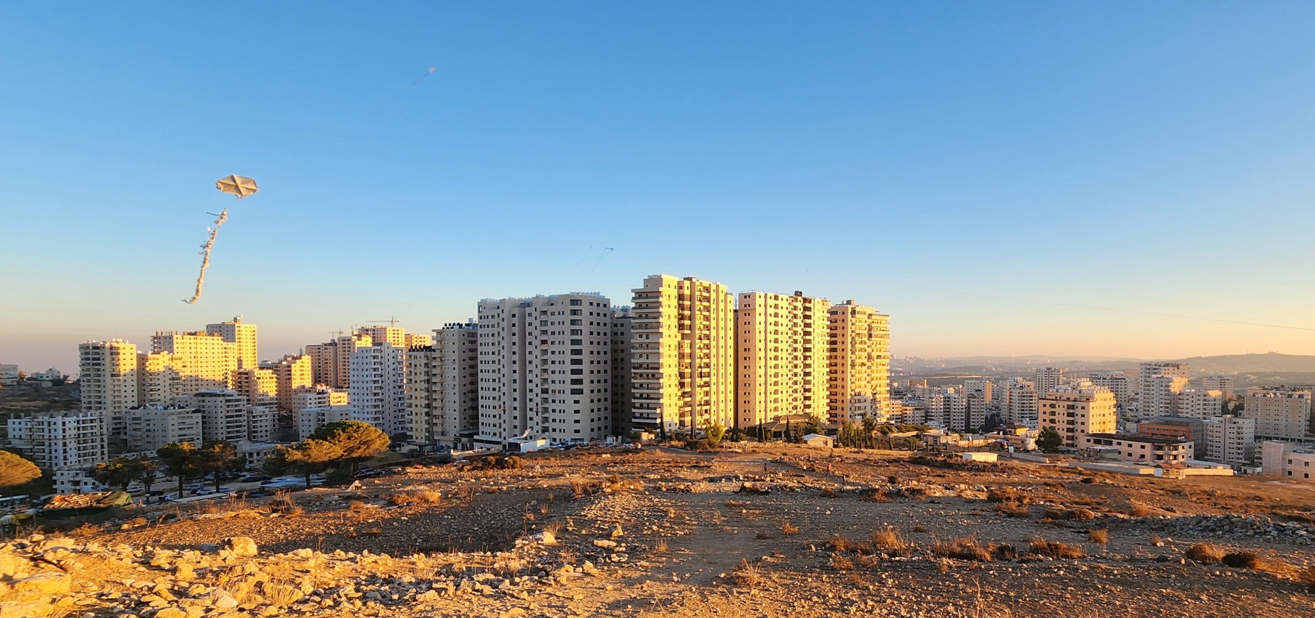
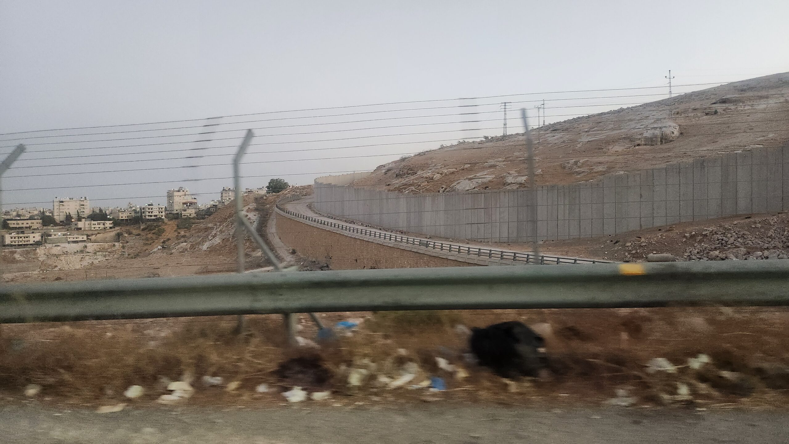
Kufr Aqab’s ‘Concrete Jungle‘: Palestinians in municipal Jerusalem could lose their residency if they live outside these buildings, causing crowding and vertical expansion of their neighbourhoods. The empty hill where serving as the photographer’s vantage point is outside the municipality.
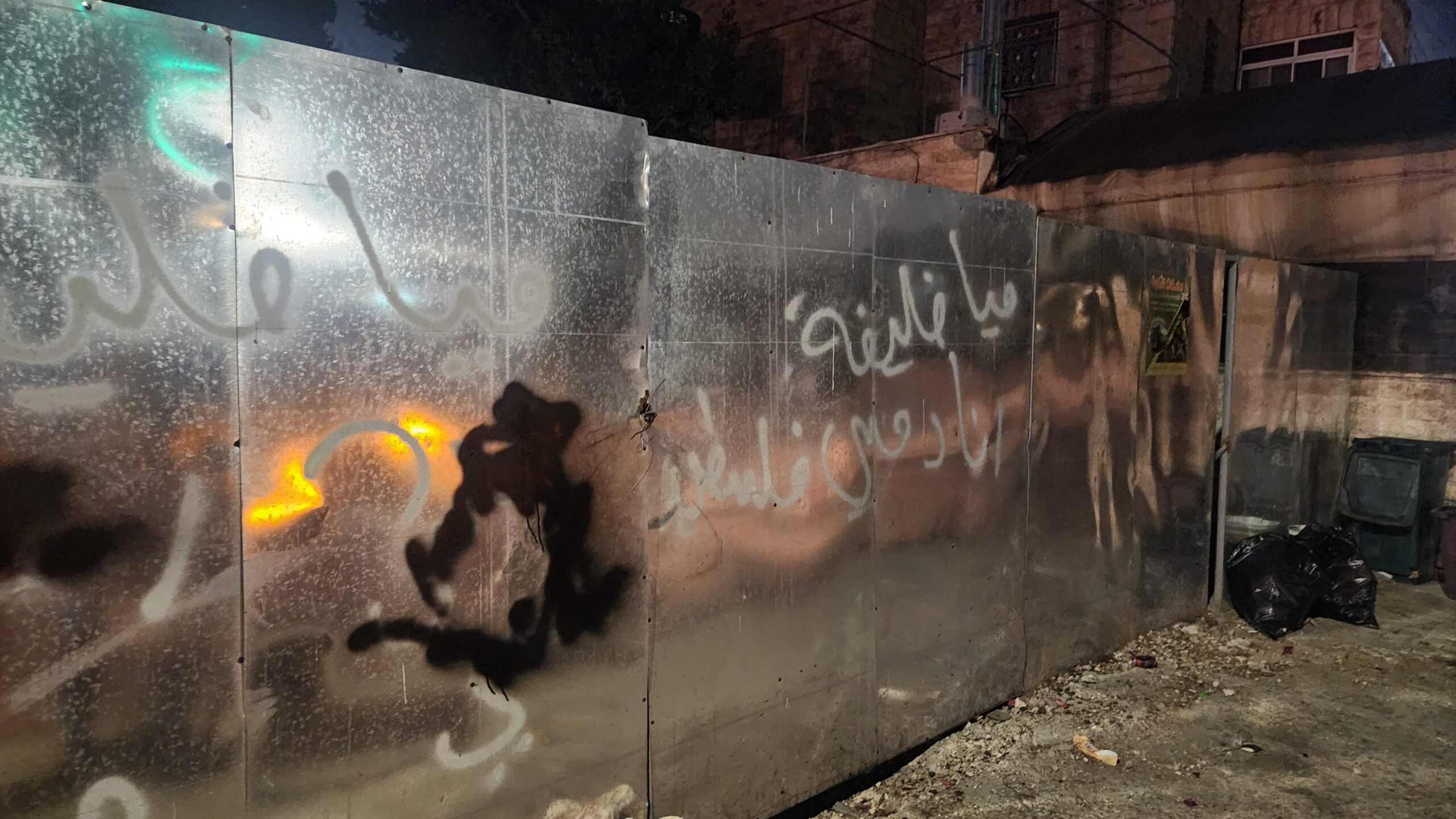
Graffitti reading, ‘Mia Khalifa – My blood is Palestinian’
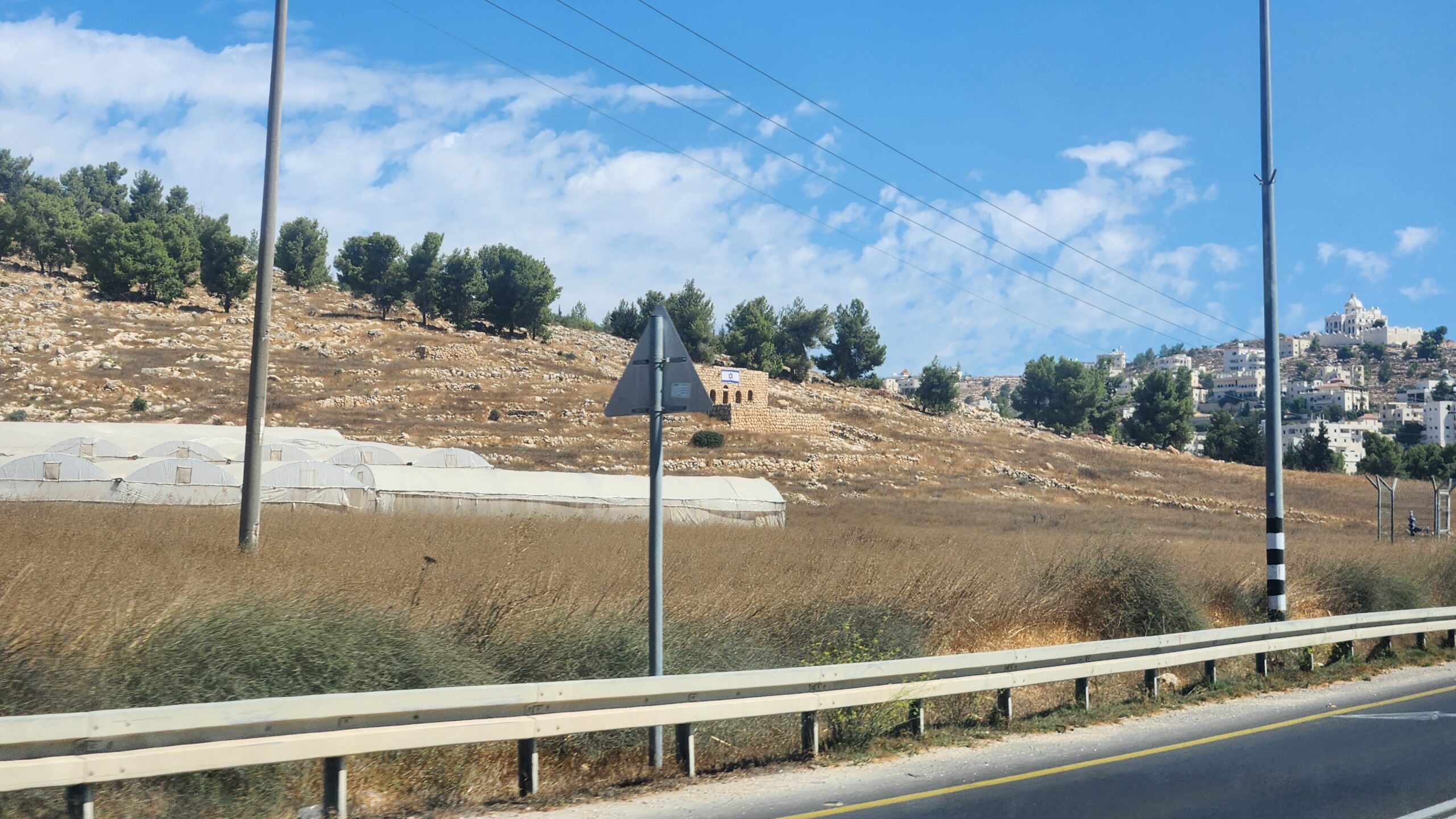
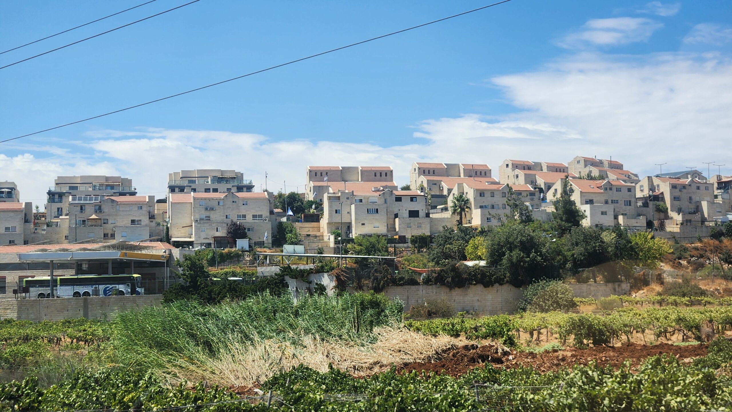
A settlement overlooking a Palestinian vineyard; such settlements are violations of international law.
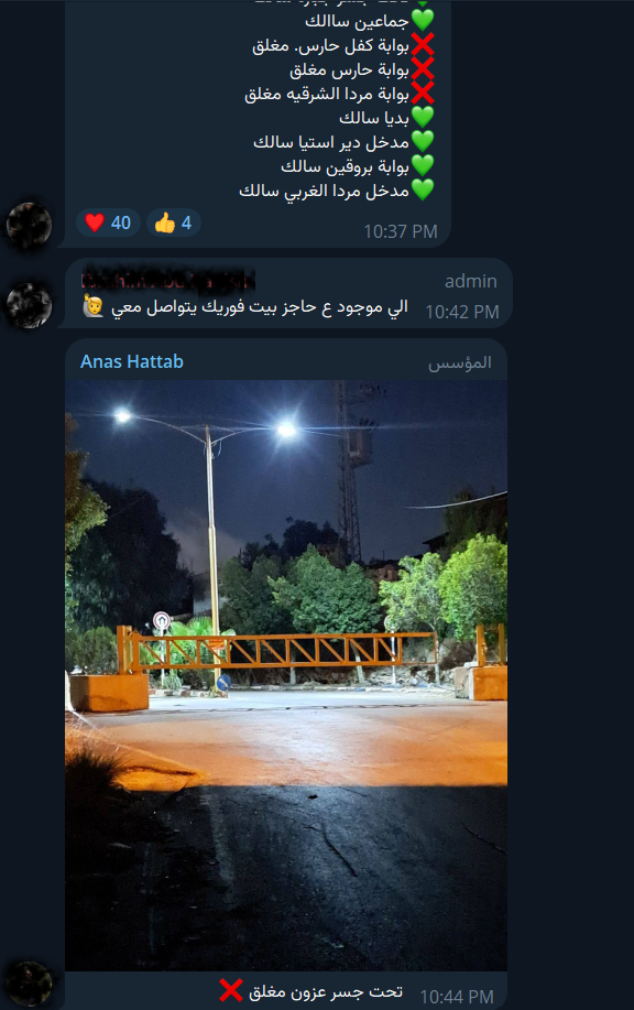
A screenshot from a 250k member telegram channel where people post minute by minute updates on roads status—gates, checkpoints and alternative routes.
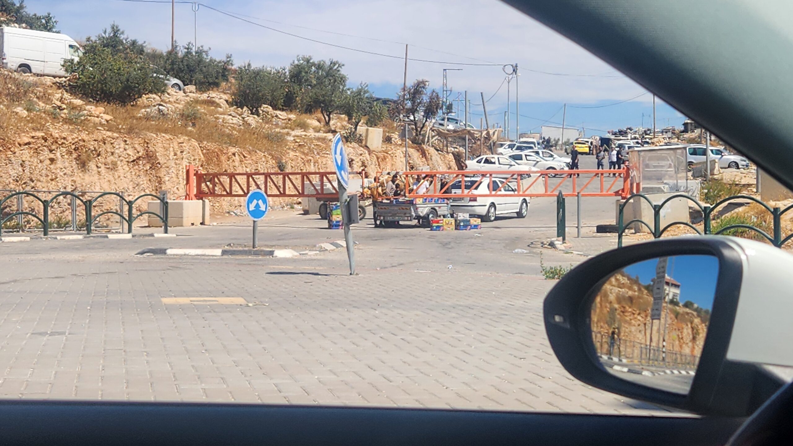
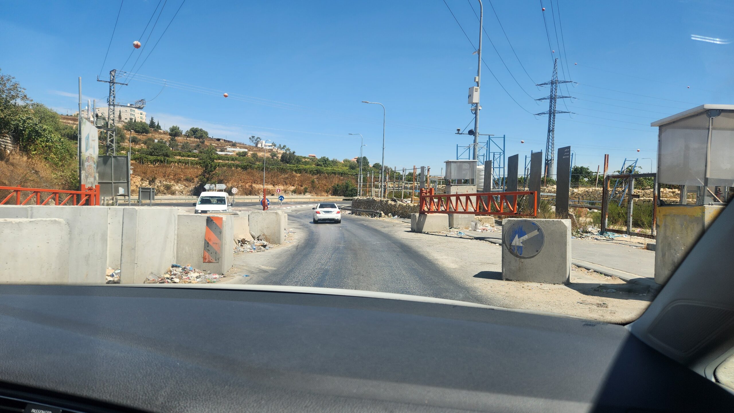
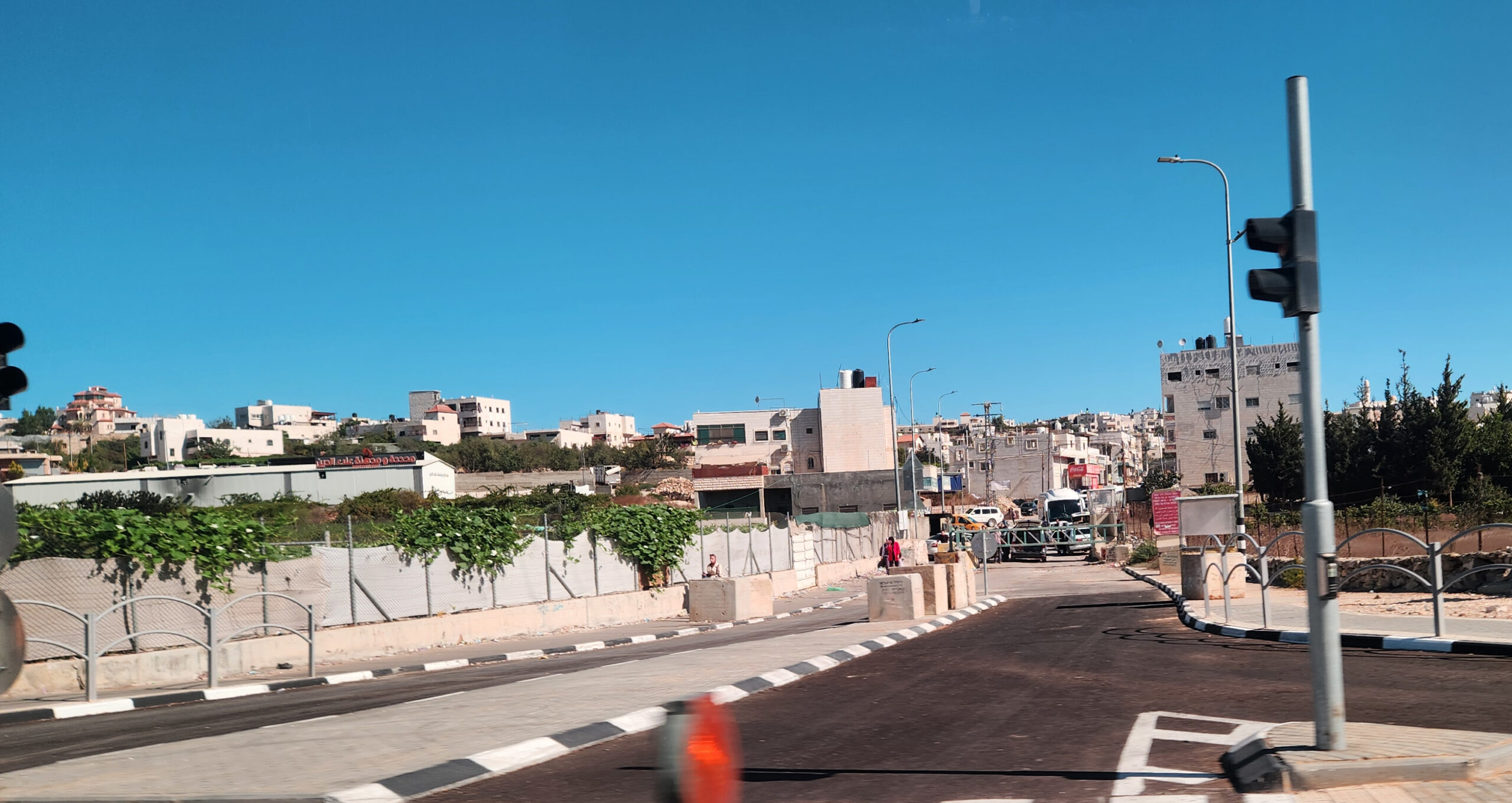
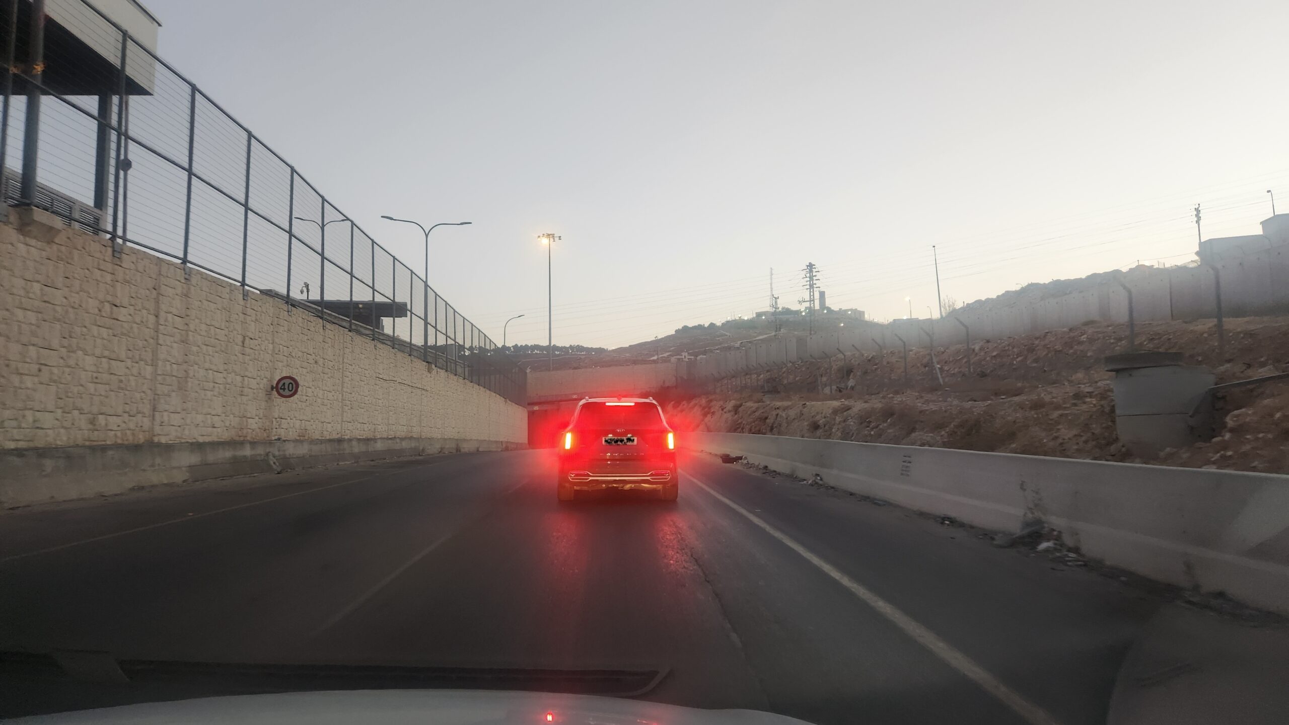
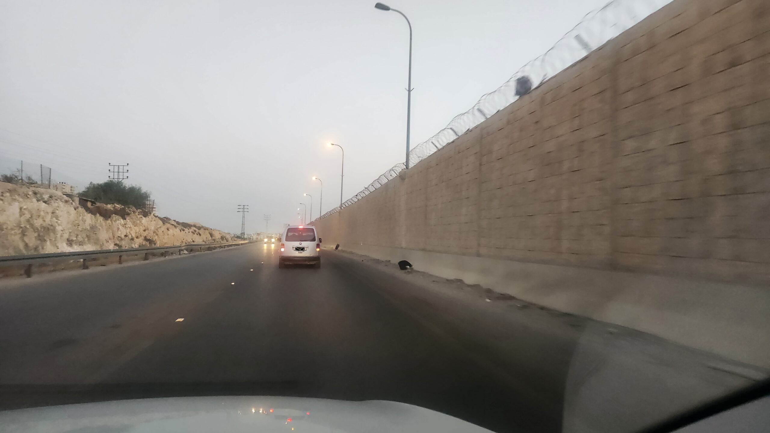
(Below) Open and closed gates:Israel installs these ‘simple’ gates at all palestinian towns’ entrances. The gates are usually closed when there’s an incident, but since October 7th, it’s arbitrary.
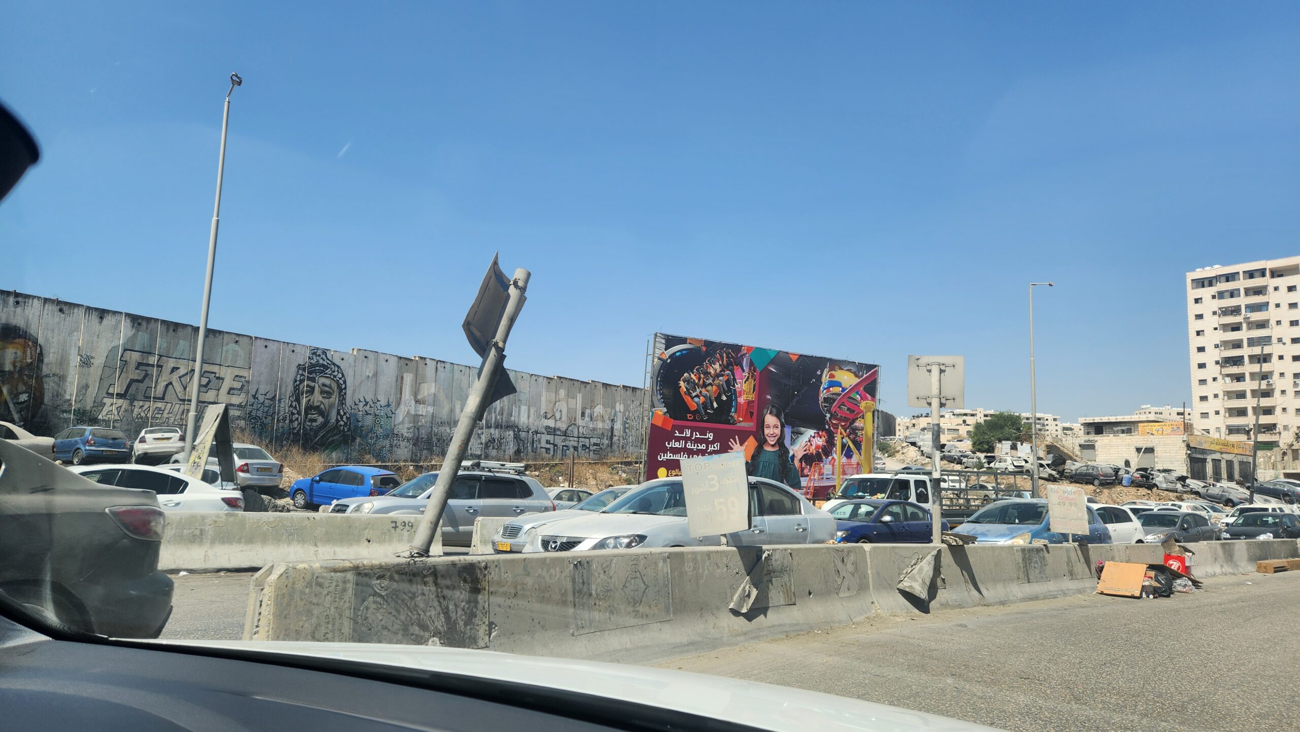
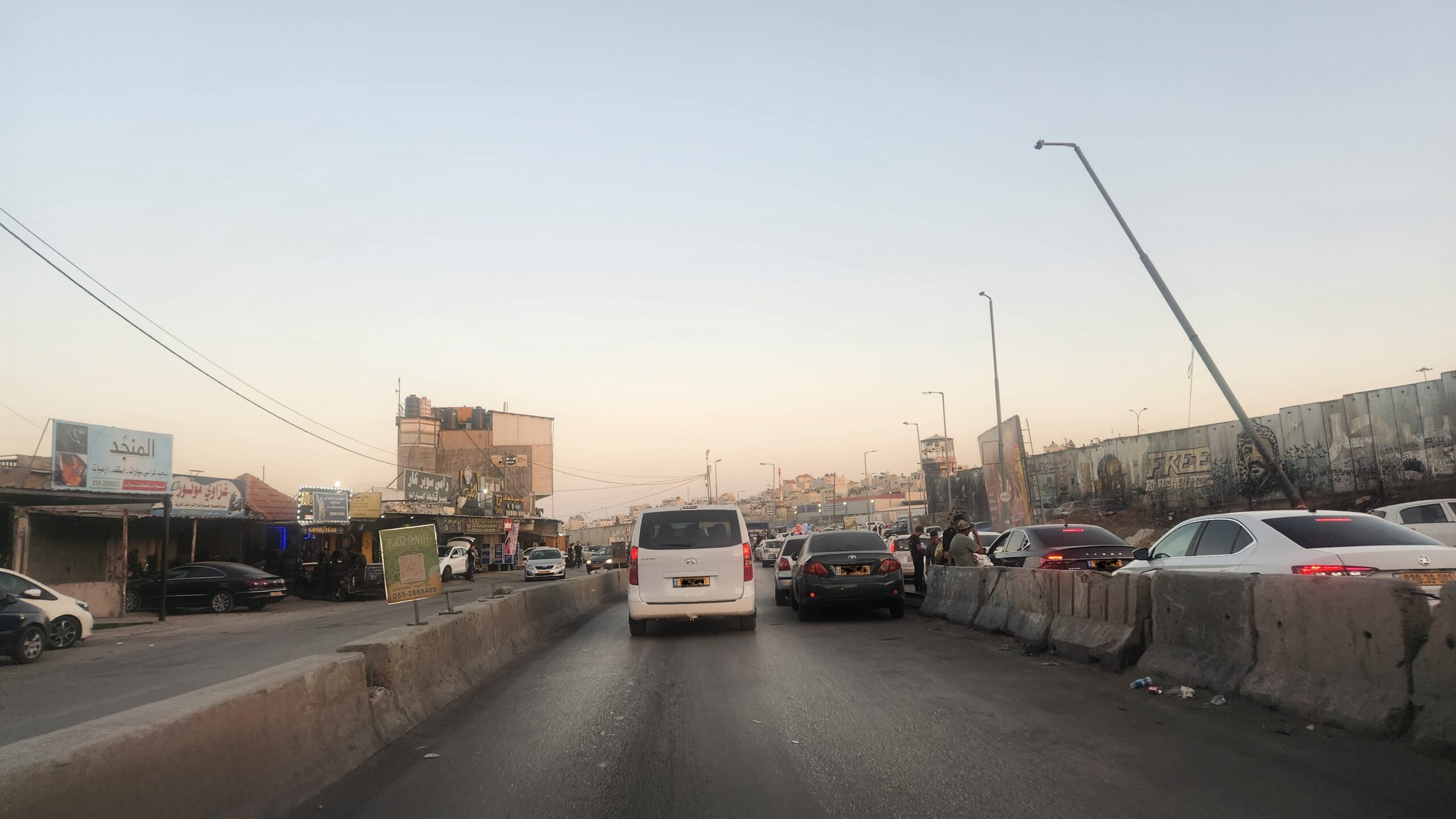
(Below) Qalandia checkpoint, the gateway to Ramallah, on a quiet day: Cars, army posts and chaos.
We use cookies to ensure that we give you the best experience on our website. If you continue to use this site we will assume that you are happy with it.